| WAT THA SAI 2 (วัดท่าทราย) |

| | | | | | | | |
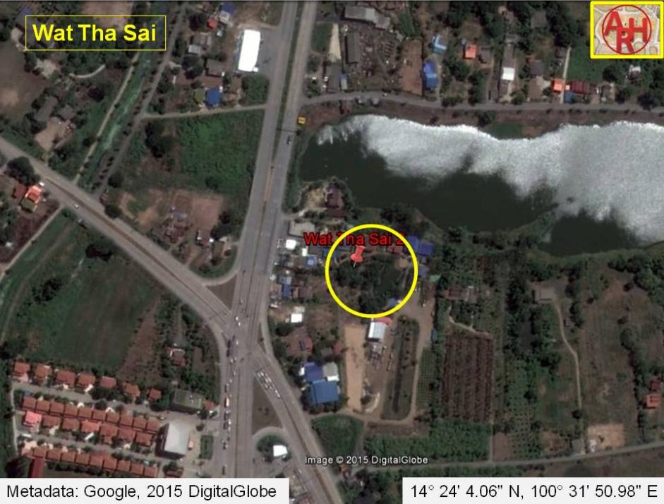
| Wat Tha Sai or the Monastery of the Sand Landing was located off the city island in the northwestern area of Ayutthaya in Wat Tum Sub-district. It was situated in the immediate vicinity of Wat Chang Yai, east of road No 347. In situ is a large brick mound with remains of a wall and a chedi. Some brick work can be seen being enveloped in a tree. The all site is grown over by vegetation, while some parts are inundated. Its historical background and period of construction are unknown. The site is only found on Fine Arts Department maps. The ruins of Wat Tha Sai are located in geographical coordinates: 14° 24' 4.06" N, 100° 31' 50.98" E. |
| Text, maps & photographs by Tricky Vandenberg - May 2009 Updated December 2015 |
| | | | | | | |
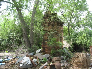
| (Part of a brick structure in situ) |
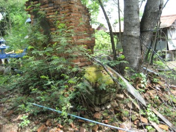
| (Part of a brick structure in situ) |
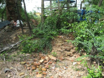
| (Remaining brickwork) |
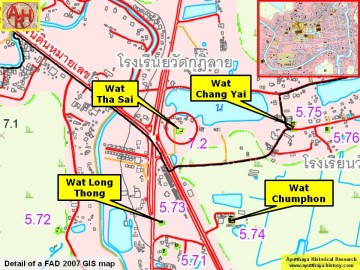
| (Detail of a 2007 Fine Arts Department GIS map - Courtesy of the Fine Arts Department - 3th Region) |