| WAT TAMNAK 2 (วัดตำนัก) |
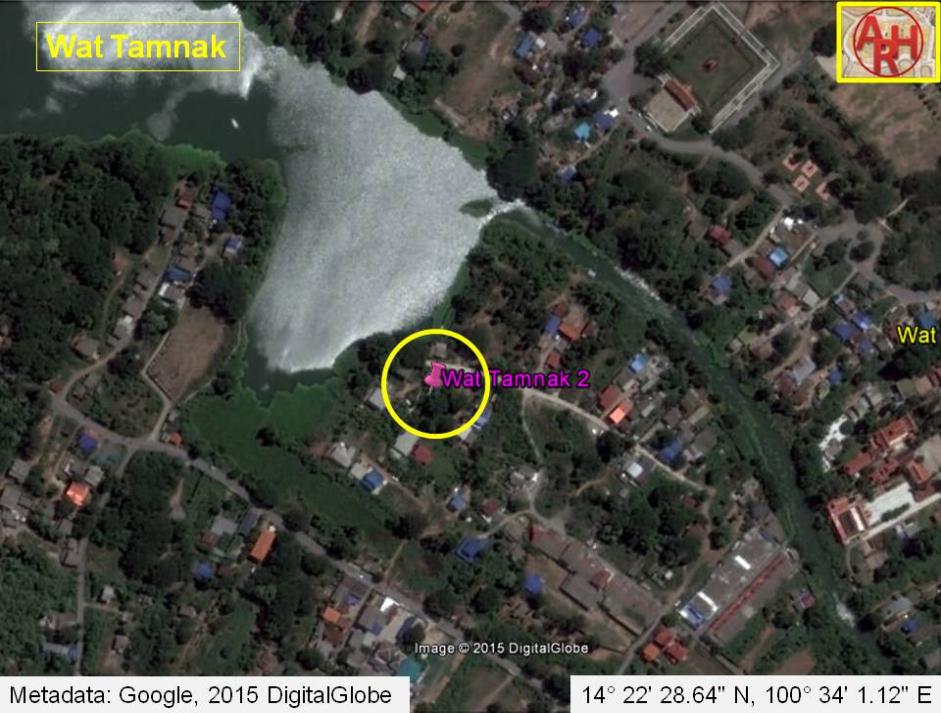
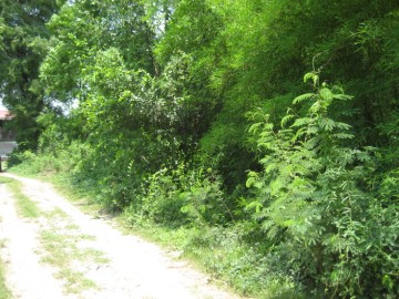
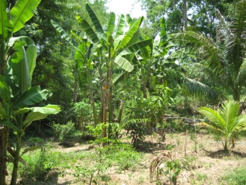
| Wat Tamnak is located off the city island in the northern area of Ayutthaya in Suan Phrik Sub-district in an area called before Thung Kaeo. Thung Kaeo or Field of Crystal is an area north of the city of Ayutthaya bordered on the west and north by Khlong Sra Bua; on the east by Khlong Hua Ro and in the south by Khlong Mueang. The temple was located on the west bank of the old Lopburi River, at present along a stretch of water known as Khlong Hua Ro, just opposite the Elephant Kraal. Wat Tamnak is situated in between Wat Khae (restored ruin), to its northwest and Wat Phrao, to its southeast (defunct). The temple is named after a tamnak a dwelling of royals; a royal or princely temporary residence. If there was any relation with the elephant kraal is not known, but Wat Tamnak could have had a function as a resting place for the Ayutthayan Kings when organizing a large elephant round-up at the kraal. The large pond on the north is not natural, but has been formed by digging clay for construction last century. In between the Elephant Kraal and Wat Tamnak, on the eastern canal bank was situated a large kiln, which remnants still can be seen. In situ is a large brick mound covered in vegetation, which is used mainly as a garden by the neighbouring villagers. There is no brickwork visible anymore, but scattered pieces of broken Buddha images can still be found around. Historical data about the monastery and its construction are unknown. The site features on Foreign Arts Department (FAD) maps. On the 1974 FAD map it is indicated as Wat Rang (วัดร้าง). (1) The defunct temple was situated in geographical coordinates: 14° 22' 28.64" N, 100° 34' 1.12" E. A monastery with an identical name was located south of the city island in Pak Kran sub- district in the vicinity of Wat Phutthaisawan. Footnotes: (1) Rang - deserted, abandoned, uninhabited. This location on the 1974 FAD map could possibly refer to Wat Mongkut instead of Wat Tamnak. |

| | | | | | | | |
| | | | | | | |
| Text, maps & photographs by Tricky Vandenberg Updated September 2011, September 2015 |
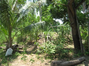
| (View of the location of Wat Tamnak) |
| (View of the location of Wat Tamnak) |
| (View of the location of Wat Tamnak) |
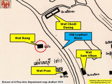
| (Detail of a 1974 Fine Arts Department map - Courtesy Dr. Surat Lertlum, Chulachomklao Royal Military Academy) |
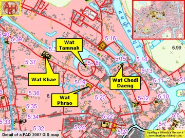
| (Detail of a 2007 Fine Arts Department GIS map - Courtesy of the Fine Arts Department - 3th Region) |