| WAT MONGKUT (วัดมงกุฎ) |
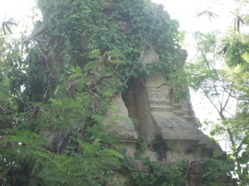
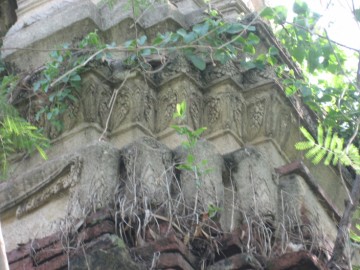
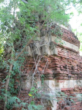
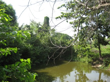
| Wat Mongkut is located northeast of the main island. It can be found near Wat Phrao, in a neighborhood once associated with the Brahmin community during the Ayutthaya period. Joss sticks and scented powder were previously sold in this part of town. However, there is no clear history about Wat Mongkut or its date of construction. It did not appear on Phraya Boran Rachathanin’s map of 1926. A medium-sized Khmer prang can still be found on site. It is redented in the late- Ayutthaya period style and includes niches in the relic chamber portion. In some sections the decorative stucco is still well preserved. There is no trace of boundary walls or an ubosot. Recent construction has destroyed much of the surrounding area. Wat Mongkut is presently obscured by trees and other vegetative growth. It is tucked between several houses and may be considered private property. It is not yet clear if the surviving prang is protected as a historic site, but the nearby site of Wat Phrao has been plowed under by bulldozer. A drainage trench has already been dug close to the surviving prang. Many Muslims have moved into this area in recent years. One plausible theory is that this temple is a more recent construction named after the fourth king of the Chakri Dynasty (1851-1868). |

| | | | | | | | |
| Text by Ken May - April 2009 |
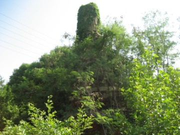
| (South east view) |
| (Base of the brick chedi) |
| (Stucco work) |
| Addendum, maps & photographs by Tricky Vandenberg - September 2011 Updated January 2015 |
| | | | | | | |
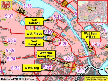
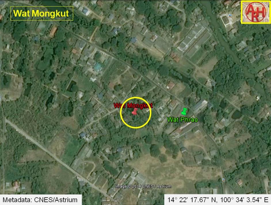
| Addendum Wat Mongkut or the Monastery of the Crown was located off the city island in the northern area of Ayutthaya in Khlong Sra Bua sub-district. The monastery stood in an area called before Thung Kaeo or "crystal field", bordered on the west and north by Khlong Sra Bua; on the east by Khlong Hua Ro and in the south by Khlong Mueang. Wat Phrao stood east of Wat Mongkut and south of Wat Tamnak. The monastery is indicated on 1993 and 2007 Fine Arts Department (FAD) maps. The ruins of temple are situated in Geo Coord: 14° 22' 17.67" N, 100° 34' 3.54" E. |
| (Redented chedi) |
| (Detail of a 2007 Fine Arts Department GIS map - Courtesy of the Fine Arts Department - 3th Region) |


| (View from the north) |